


What’s Closing and Where
The affected segment runs from Amador Valley north to Kimball Avenue, a stretch that sits in the southern portion of the Iron Horse Regional Trail corridor. While the closure is geographically closer to Dublin and Pleasanton, it directly impacts anyone on the 32-mile trail attempting to travel its full length—including Walnut Creek cyclists, runners, and commuters who use the trail to reach the Dublin/Pleasanton BART station or Shadow Cliffs Regional Recreation Area.
The East Bay Regional Park District (EBRPD) has confirmed that no detour will be provided within the trail corridor itself. Trail users approaching from the north will encounter closure signage beginning well before the work zone, and access gates will be physically secured. EBRPD and Zone 7 ask that trail users respect all closure barriers and signage—entering an active flood control maintenance zone is both a safety hazard and a potential citation.
Why the Trail Is Closing: Zone 7 Flood Control Maintenance
The closure is not for trail improvements—it is for essential flood control infrastructure. Zone 7 Water Agency, the Tri-Valley region’s water wholesaler, manages a 37-mile network of engineered streams, channels, and flood control facilities designed to protect Dublin, Livermore, and Pleasanton from storm-related flooding. These facilities run directly adjacent to and, in some cases, beneath segments of the Iron Horse Trail.
Zone 7’s annual vegetation management season begins May 1, with mowing and tree trimming occurring across all three Tri-Valley cities through June. The June–July closure window allows crews to perform heavier maintenance—channel clearing, structural inspections, embankment repairs, and equipment access—that cannot safely be done while the trail is open to the public.
The Iron Horse Trail follows the old Southern Pacific Railroad right-of-way, which in several sections runs directly alongside the Arroyo Mocho and Arroyo Las Positas flood control channels. These engineered waterways carry storm runoff from the Dublin hills and Livermore Valley toward San Francisco Bay. Without regular maintenance, debris accumulation can reduce channel capacity by 30–50%, increasing flood risk for thousands of downstream homes and businesses. Zone 7’s two-month maintenance window is timed to complete this work before the next rainy season begins in late fall.
How This Affects Walnut Creek Residents
For Walnut Creek trail users, the closure creates a hard stop point south of the Rudgear Road / I-680 crossing. Here is what that means in practical terms:
Commuting to BART: If you bike from Walnut Creek to the Dublin/Pleasanton BART station via the Iron Horse Trail, your route is now severed. The nearest BART option without the trail is Walnut Creek BART, which adds vehicle or bus transit time. County Connection bus routes serve both stations, but bike-on-bus capacity is limited.
Recreational Riding: The popular Walnut Creek–Danville–Dublin corridor ride is no longer contiguous. Riders can still enjoy the northern portion (Walnut Creek south through Alamo and into Danville), but must turn around before reaching the closed segment. The full 32-mile through-ride to Shadow Cliffs is not possible during the closure period.
Rudgear Road Crossing Segment: This section—where the trail crosses eastward under I-680 near the Rudgear Road Park & Ride—remains open. The closure begins further south, so Walnut Creek residents accessing the trail at Rudgear Road for northbound travel (toward Concord) or southbound travel (toward Alamo/Danville) are unaffected. Only those traveling all the way to Dublin/Pleasanton will encounter the closure.
Alternate Routes and Workarounds
If you typically use the closed segment, here are your options during the two-month window:
| Route Option | Best For | Notes |
|---|---|---|
| BART (Walnut Creek Station) | Commuters heading south | Take BART to Dublin/Pleasanton; bikes allowed on all trains except crowded cars during peak hours |
| County Connection Bus Routes | Multi-modal commuters | Routes 21, 92X, and 95X serve the I-680 corridor; all buses have front-mounted bike racks (2–3 bikes) |
| I-680 / Surface Streets | Experienced road cyclists | No direct parallel bike route; surface-street alternatives are hilly and less protected. Not recommended for families or casual riders |
| Danville Section (out and back) | Recreational riders | Ride Walnut Creek to Danville and back; approximately 12–14 miles round-trip, entirely on the trail |
| Lafayette-Moraga Regional Trail | Alternate recreation | A different EBRPD trail, roughly parallel to the Iron Horse corridor west of I-680; connects to Lafayette BART |
Recommendation for most Walnut Creek residents: If your route normally goes all the way to Dublin/Pleasanton, take BART for the skipped segment. For recreational riding, the Walnut Creek–Danville out-and-back is an excellent alternative that keeps you on protected trail for the entire ride.
Iron Horse Trail at a Glance
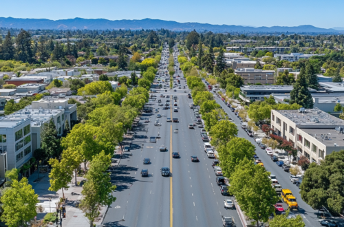
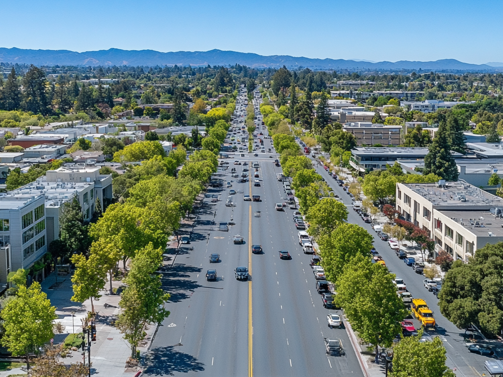
The Iron Horse Regional Trail is one of the East Bay’s most heavily used multi-use corridors. Here is what you need to know about the trail itself—rules and attributes that apply across its entire 32-mile length, regardless of this temporary southern closure:
| Attribute | Detail |
|---|---|
| Total Length | 32 miles (completed 2014); future extension to ~55 miles planned |
| Route | Concord (near Highway 4) to Shadow Cliffs Regional Recreation Area in Pleasanton |
| Accessibility | ADA-compliant surface, width, and slope; wheelchair accessible |
| Bikes | Allowed (including eBikes) |
| Dogs | Allowed (on leash) |
| Horses | Allowed |
| Hours | 5:00 a.m. – 10:00 p.m. daily |
| Uses | Bicycling, hiking, jogging, running, equestrian |
How to Report Issues and Stay Informed
If you encounter safety hazards, damaged trail surfaces, or trail-use conflicts anywhere on the Iron Horse Trail (including outside the closure zone), EBRPD has multiple reporting channels:
- Non-Emergency Trail Hazards: Call EBRPD Public Safety Dispatch at (510) 881-1833, available 24/7. Be specific about the nature and exact location of the problem.
- Trail Conflicts or Violations: Same number—(510) 881-1833—or submit a Park Watch Report online.
- Emergency / Crime in Progress: Call 911 or (510) 881-1121 from a cell phone, 24 hours a day.
- Zone 7 Flood Control Questions: Email floodinfo@zone7water.com (monitored during business hours).
For real-time trail status updates, bookmark the official EBRPD Iron Horse Trail page at ebparks.org/trails/interpark/iron-horse. The Alerts & Closures section is updated as conditions change. You can also call the EBRPD general information line toll-free at 888-EBPARKS (888-327-2757), option 3, extension 4533.
Looking Ahead: July 31 and Beyond
Barring weather delays or unforeseen conditions, the trail is expected to reopen on August 1, 2026. Zone 7’s two-month window is designed to complete all scheduled maintenance within the closure period, and EBRPD typically reopens trails promptly once work zones are cleared and inspected.
For Walnut Creek residents who depend on the Iron Horse Trail for commuting or recreation, plan for the full two months. The trail will be here when the work is done, and the maintenance—clearing debris from flood channels, repairing embankments, and inspecting infrastructure—is the kind of behind-the-scenes work that keeps the Tri-Valley region safe during the heavy rain seasons that California periodically delivers.
In the meantime, adjust your routes, explore the Walnut Creek–Danville segment, and keep an eye on the EBRPD alerts page for any changes to the closure timeline.
This article was last updated on June 3, 2026. Closures are subject to change. Always check EBRPD’s official Iron Horse Trail page for the latest information before heading out.