




WALNUT CREEK, CA — A winter that could test every sump pump, storm drain, and creek bank in Contra Costa County is taking shape in the Pacific Ocean, and climate experts say Walnut Creek should start paying attention now.
Climate scientists are tracking a potential “super El Niño” in the Pacific — one that could rank among the strongest on record — and they’re warning that the Bay Area could be in for a winter of heavy rainfall, flooding, and unusually strong storms when the pattern peaks in December and January.
The forecast came into focus this week during a virtual town hall hosted by State Senator Mike McGuire, where experts pointed to record-warm ocean temperatures as the fuel behind what’s shaping up to be an unusually powerful El Niño event. Translation: if the models hold, this winter won’t be the kind where you forget where you put your umbrella.
For Walnut Creek, the concern isn’t abstract. The city sits in a bowl — not the kind that floods like Houston, but one where a big storm can turn Tice Creek and Walnut Creek itself from sleepy waterways into serious hazards. Anyone who remembers the atmospheric river winters of 2016-17 and 2022-23 knows the drill: streets become streams, basements get wet, and the Iron Horse Trail turns into sections you’d rather kayak than walk.
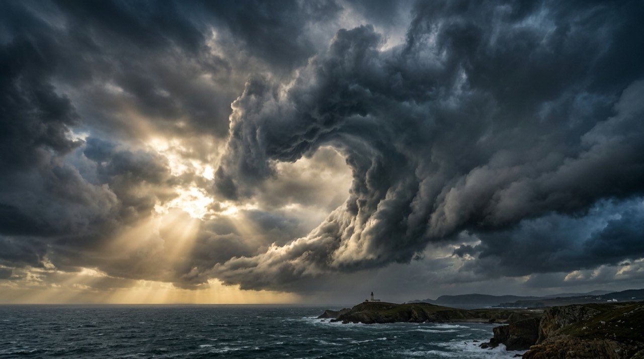
“This is shaping up to be a strong event,” McGuire said during the briefing. The biggest punch, experts say, lands in December and January — which means there’s still time to get ready. And look, if there’s one thing Californians are good at, it’s ignoring the sky until the sky refuses to be ignored.
The wild card this time around is lightning. Super El Niño winters tend to bring more thunderstorms to Northern California than a typical rainy season — which, in a region where August fires are still smoldering, isn’t exactly a comforting thought. A wet winter after a dry summer sounds like a trade most people would take. Lightning on top of it? Less so.
Super El Niño: What Walnut Creek Should Know
- What it is: Unusually warm Pacific Ocean temperatures that shift global weather patterns, typically bringing wetter, stormier winters to California.
- When it hits: Peak impacts expected December 2026 through January 2027.
- What to expect: Heavy rainfall, potential flooding in low-lying areas, increased lightning activity, stronger coastal storms.
- Local flood zones to watch: Areas near Walnut Creek, Tice Creek, and the Iron Horse Trail corridor. Lower-lying neighborhoods near downtown are historically vulnerable.
- What’s different this time: Ocean temperatures are running “record-warm,” putting this event in the same conversation as the historic 1997-98 and 2015-16 El Niños.
The good news — and there is some — is that Northern California reservoirs are in decent shape heading into fall, giving water managers some room to handle a season of heavy inflow. But that’s a regional comfort. At street level, it’s the clogged storm drain on your block and the tree limb leaning toward your roofline that matter.
A few things worth doing before the rains arrive: clear gutters and downspouts (the neighbor’s oak tree isn’t going to do it for you), check that your sump pump actually works, and know where the sandbag stations are when the city opens them — usually at the public services yard off Lawrence Way. If you live near one of Walnut Creek’s namesake creeks, keep an eye on water levels once the heavy stuff starts. They rise fast.
So here’s the thing: a super El Niño isn’t a guarantee — it’s a forecast. But it’s the kind of forecast where a little preparation now beats a wet carpet in January. Walnut Creek has been through big winters before. The smart move is to treat this one like it’s coming.
Know something I should cover? Reply or DM.